


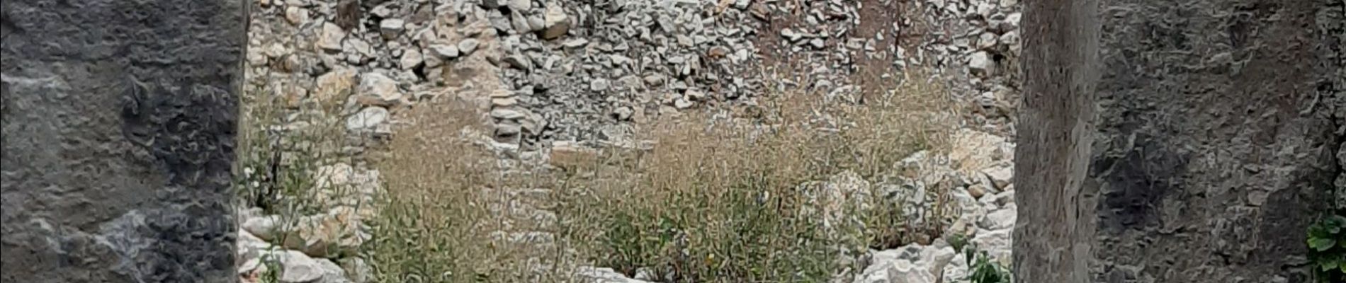
LE SAIX Abbaye de Claussonne n f

RobinMicheline
User GUIDE
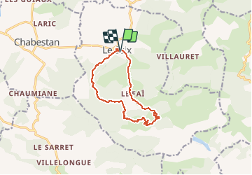

Length
12.5 km

Max alt
1351 m

Uphill gradient
558 m
Km-Effort
19.9 km

Min alt
810 m

Downhill gradient
558 m
Boucle
Yes
Creation date :
2020-09-19 06:20:49.636
Updated on :
2020-09-21 18:53:38.682
3h44
Difficulty : Medium

FREE GPS app for hiking
 SityTrail
IGN / Geographical institutes
SityTrail Plus
The world is yours!
About
Trail Walking of 12.5 km to be discovered at Provence-Alpes-Côte d'Azur, Hautes-Alpes, Le Saix. This trail is proposed by RobinMicheline.
Description
Belle rando , sentier sympa , abbaye en cours de restauration , garder cette rando pour les photos
Photos


Positioning
Country:
France
Region :
Provence-Alpes-Côte d'Azur
Department/Province :
Hautes-Alpes
Municipality :
Le Saix
Location:
Unknown
Start:(Dec)
Start:(UTM)
724693 ; 4928443 (31T) N.
Comments